 on August 18, 2010, 2:24 pm
187.146.84.82
weather stuff
Posted by Daniel![]() on August 18, 2010, 2:24 pm
on August 18, 2010, 2:24 pm
187.146.84.82
|
Comparing the current satellite loops to see which one shows the current storm that may give us rain. I took these screen shots at 2 pm (UTC of 18:00) using the zoom feature (click the zoom button then click the loop a couple times) the center one is most clear on zoom. For some reason they are sending that out at a higher resolution. We are right where the horizontal blue line crosses the coast (see arrow center photo) 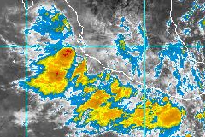 http://www.ssd.noaa.gov/PS/TROP/DATA/RT/epac-ir4-loop.html 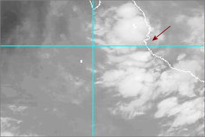 http://www.goes.noaa.gov/HURRLOOPS/hpwv.html 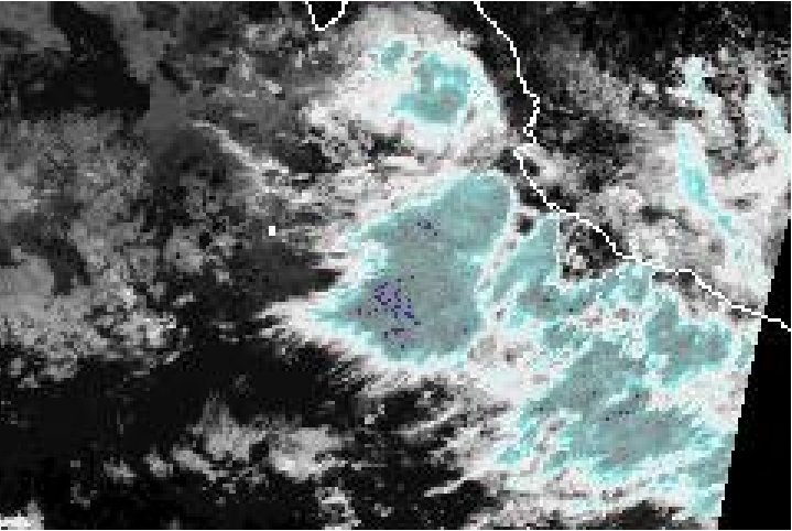 http://www.ssd.noaa.gov/goes/west/epac/loop-ir2.html Just started to rain. |
| 159 |
|
Message Thread:
|
| By posting, you confirm that you have read and agreed to be bound by the board's usage terms. Back |
Be sure to visit www.lamanzanilla.info