forth between Tenacatita in 2004, 2009, March, April, May and July 2011.
I don't know why they are making so many passes over Tenacatita but it
sure helps document what Villalobos is doing over there. Considering this
history I don't know why the guards tell you not to take photos. Below are
a couple samples. The color difference shows how he has raped her.
Put this in the Google Earth search box and you will get to this area
19°16'56.39" N 104°52'23.39" W
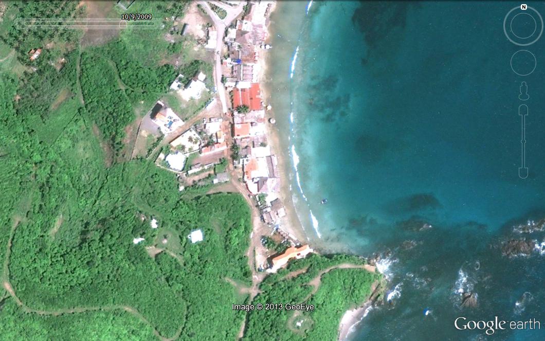
October 2009
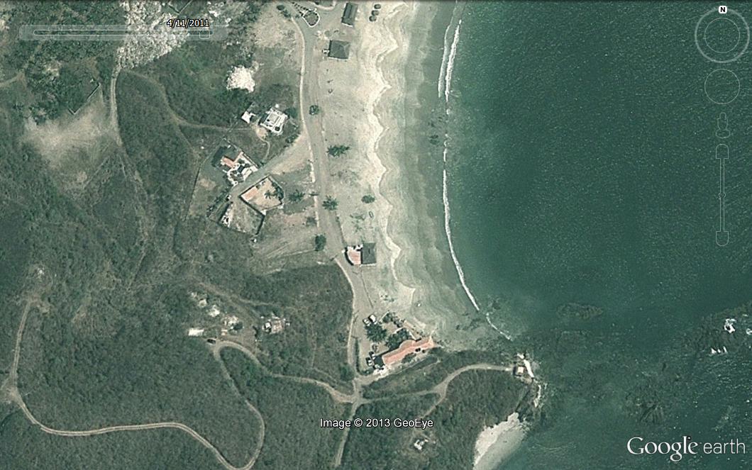
November 2011
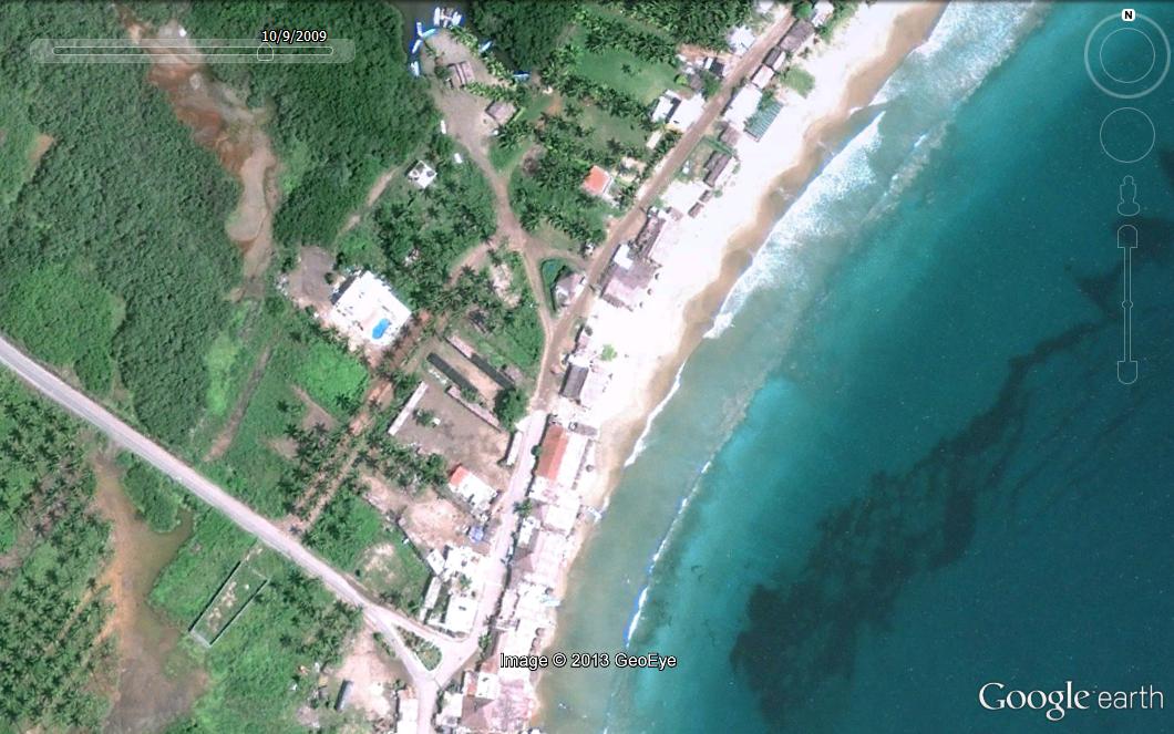
October 2009
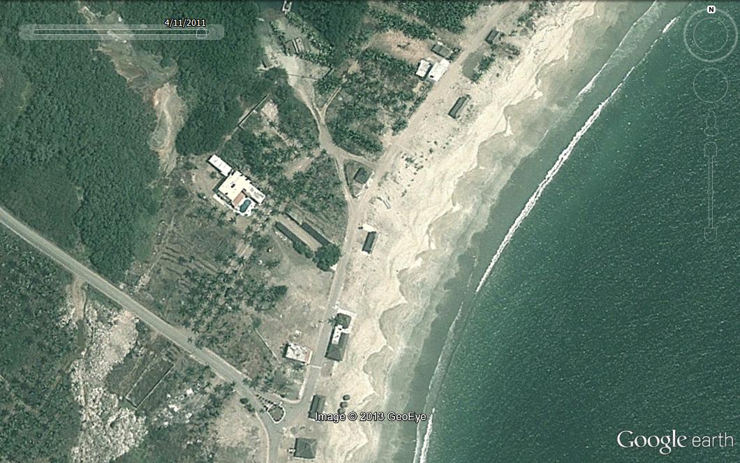
November 2011
I did the whole beach like this just to have it on my computer.