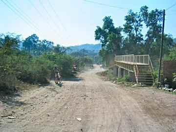
This is the bridge you will see as you get to the river.
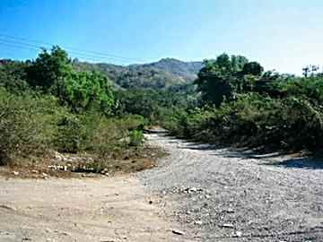
Turn left here.

This is the river bed (when dry) follow it.

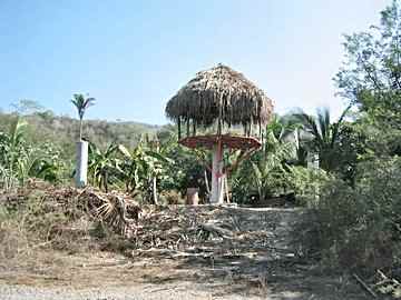
Soon you will see Andrew's on the left.
Use the map to see where the trail breaks off.

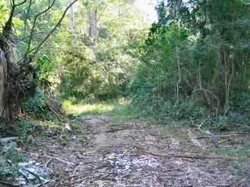
This is the what the trail looks like
| These photos were taken during the dry season, normally the foliage would be green and there would be more water in the river. The photo's start at the bridge where the road goes to Campo and progress to the waterfall. If you get lost you can just follow the riverbed to the waterfall. Here is a map. A print version and a Google Earth version |
|
NEXT
page 1 - page 2 - page 3 - page 4 - page 5 Map Google Earth Map HOME Contact Information - e-mail- lamanzanilla@prodigy.net.mx phone~International ~ 52-315-35-15059 National ~ 01-315-35-15059 Local~ 35-15059 The contents of this site are copyright © 2003, Daniel Hallas. All Rights Reserved. |