put the rubble they didn't burn, could this be it? Or were there trucks going out
through Rebalsito? The top photo is 2 months after the takeover, no trash yet.
March 4, 2011 (bottom photo) big change.
Put this in the Google Earth search box and you will get to this area
19°17'28.29" N 104°51'07.44" W
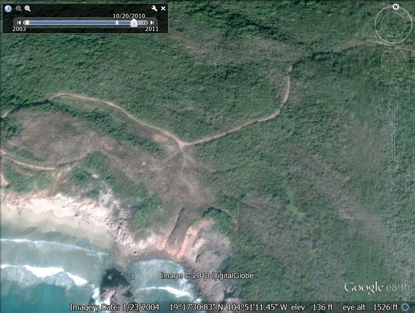
October 10, 2010
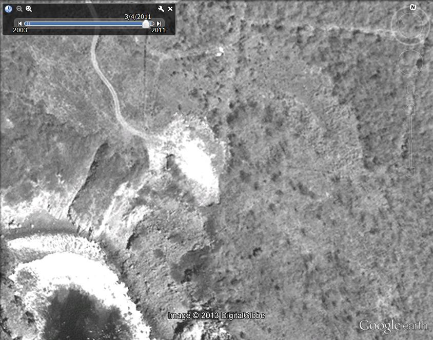
March 4, 2011